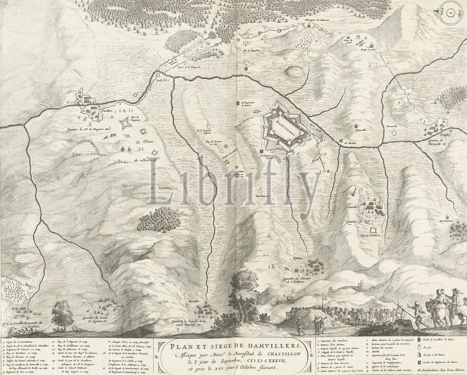
Map of the siege and capture of Damvillers, 1637, Plan et siege de Damvillers, siegee par Mons.r le mareschal de Chastillon le I jour de septembre, MDCXXXVII, et pris le XXV jour d octobre suivant (title on object), Map of the siege and capture of the city of Damvillers by the French army from the Spanish, besieged from September 1, captured on October 25, 1637. Below the map the title and a legend 2-17 and a-q. With Dutch text on verso., print, print maker: anonymous, publisher: Johannes Willemszoon Blaeu, (mentioned on object), Amsterdam, 1652, paper, etching, engraving, letterpress printing, height, 419 mm × width, 525 mm
Keywords:
Map, siege, capture, Damvillers, 1637, Plan et siege de Damvillers, siegee par Mons.r, le, mareschal de Chastillon, I, jour, de septembre, Mdcxxxvii, et pris, Xxv, d octobre suivant, title, object, city, French army, Spanish, besieged, September 1, captured, October 25, map, legend 2-17, a-q, Dutch text, verso, print, print maker, anonymous, publisher, Johannes Willemszoon Blaeu, mentioned, Amsterdam, 1652, paper, etching, engraving, letterpress printing, height, 419 mm × width, 525 mm
Image ID:
The watermark in the image will not appear on the final download.