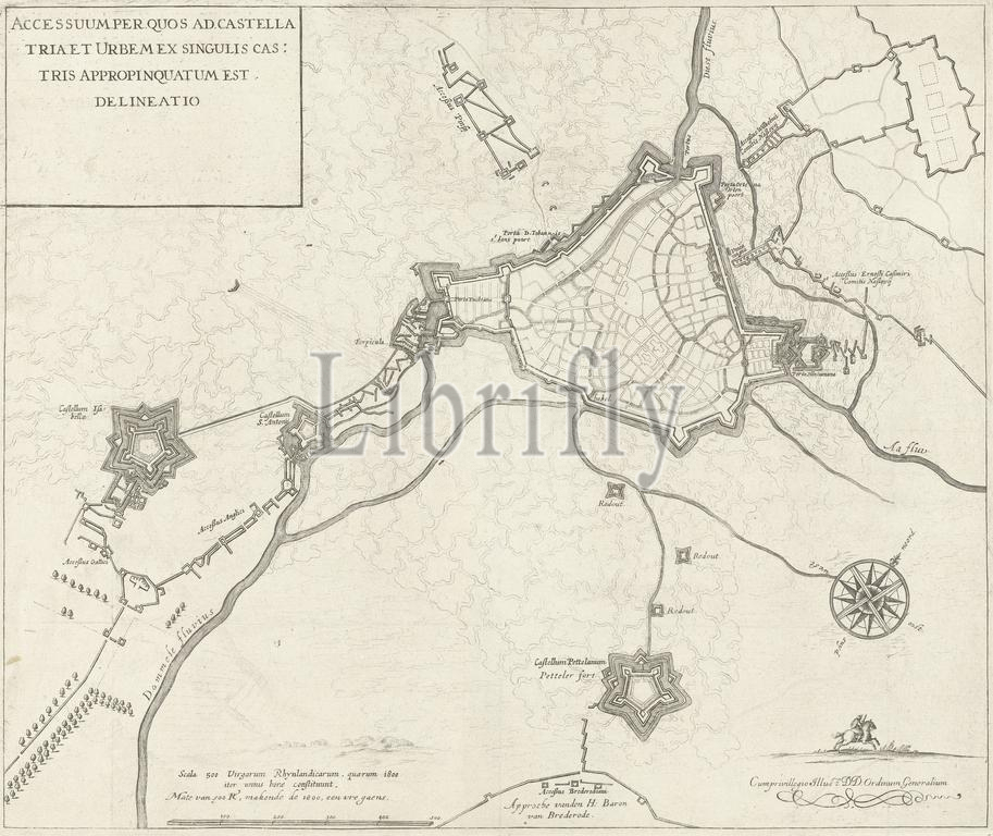
Map of the siege of Den Bosch by Frederik Hendrik, 1629, Accessuum per quos ad castella tria et urbem ex singulis castris appropinquatum ets, delineatio (title on object), Map of Den Bosch and surroundings during the siege by the State army under Frederik Hendrik, from May 1 to September 17, 1629. On the right the forts Isabella and Sint-Anthonie, at the bottom fort Pettelaer. Without the text sheet., print, print maker: anonymous, Staten-Generaal, (mentioned on object), Northern Netherlands, 1629 - 1631, paper, engraving, height, 355 mm × width, 422 mm
Keywords:
Map, siege, Den Bosch, Frederik Hendrik, 1629, Accessuum, quos ad castella tria et urbem ex singulis, castris, appropinquatum ets, delineatio, title, object, surroundings, State army under Frederik Hendrik, 1, September 17, right, forts Isabella, Sint-Anthonie, bottom fort Pettelaer, text sheet, print, print maker, anonymous, Staten-Generaal, mentioned, Northern Netherlands, 1629 - 1631, paper, engraving, height, 355 mm × width, 422 mm
Image ID:
The watermark in the image will not appear on the final download.