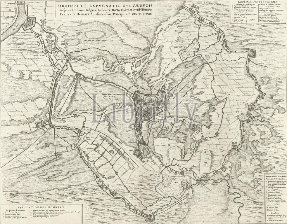
Map of the siege of 's-Hertogenbosch by Frederik Hendrik, 1629, Obsidio et expugnatio Sylvae Ducis auspiciis ordinum Belgicae Foederatae, ductu Illust.mi et invict.mi principis Frederici Henrici arausionensium principis etc. CIƆ IƆ CXXIX (title on object), Map of the siege of 's-Hertogenbosch by the Dutch army under Frederik Hendrik, from May 1 to September 17, 1629. Map of 's-Hertogenbosch and the surrounding area with the encirclement of the city, top left Crèvecoeur on the Maas, bottom right Vught. Above, left of center, the title cartouche. Bottom right a legend 1-18, top right a legend 18-34, bottom left a legend 35-44. Dutch text on verso., print, print maker: anonymous, publisher: Johannes Willemszoon Blaeu, print maker: Northern Netherlands, publisher: Amsterdam, 1652, paper, etching, engraving, letterpress printing, height, 414 mm × width, 528 mm
Keywords:
Map, siege, s-Hertogenbosch, Frederik Hendrik, 1629, Obsidio et expugnatio Sylvae Ducis, auspiciis, ordinum Belgicae Foederatae, ductu Illust.mi et invict.mi principis Frederici Henrici arausio, Ciɔ Iɔ Cxxix, title, object, Dutch army under Frederik Hendrik, 1, September 17, surrounding area, encirclement, city, top, left, Crèvecoeur, Maas, bottom right Vught, center, title cartouche, Bottom right, legend 1-18, top right, legend 18-34, bottom left, legend 35-44, Dutch text, verso, print, print maker, anonymous, publisher, Johannes Willemszoon Blaeu, Northern Netherlands, Amsterdam, 1652, paper, etching, engraving, letterpress printing, height, 414 mm × width, 528 mm
Image ID:
The watermark in the image will not appear on the final download.