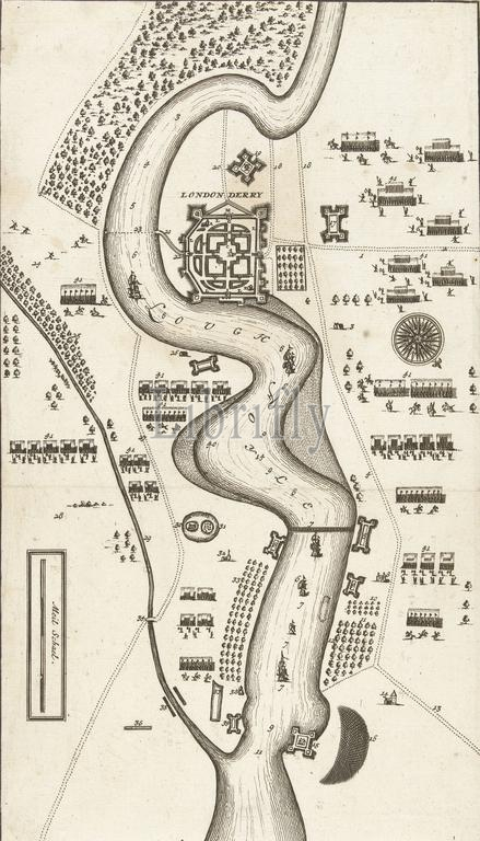
Map of the siege of Londonderry, 1689, Map of the siege of Londonderry by the army of James II, April 18 to July 28, 1689. The map includes a separate text sheet with the legend., print, print maker: anonymous, Northern Netherlands, 1689, paper, etching, engraving, height, 305 mm × width, 175 mm
Keywords:
Map, siege, Londonderry, 1689, army, James II, April 18, July 28, map includes, separate text sheet, legend, print, print maker, anonymous, Northern Netherlands, paper, etching, engraving, height, 305 mm × width, 175 mm
Image ID:
The watermark in the image will not appear on the final download.