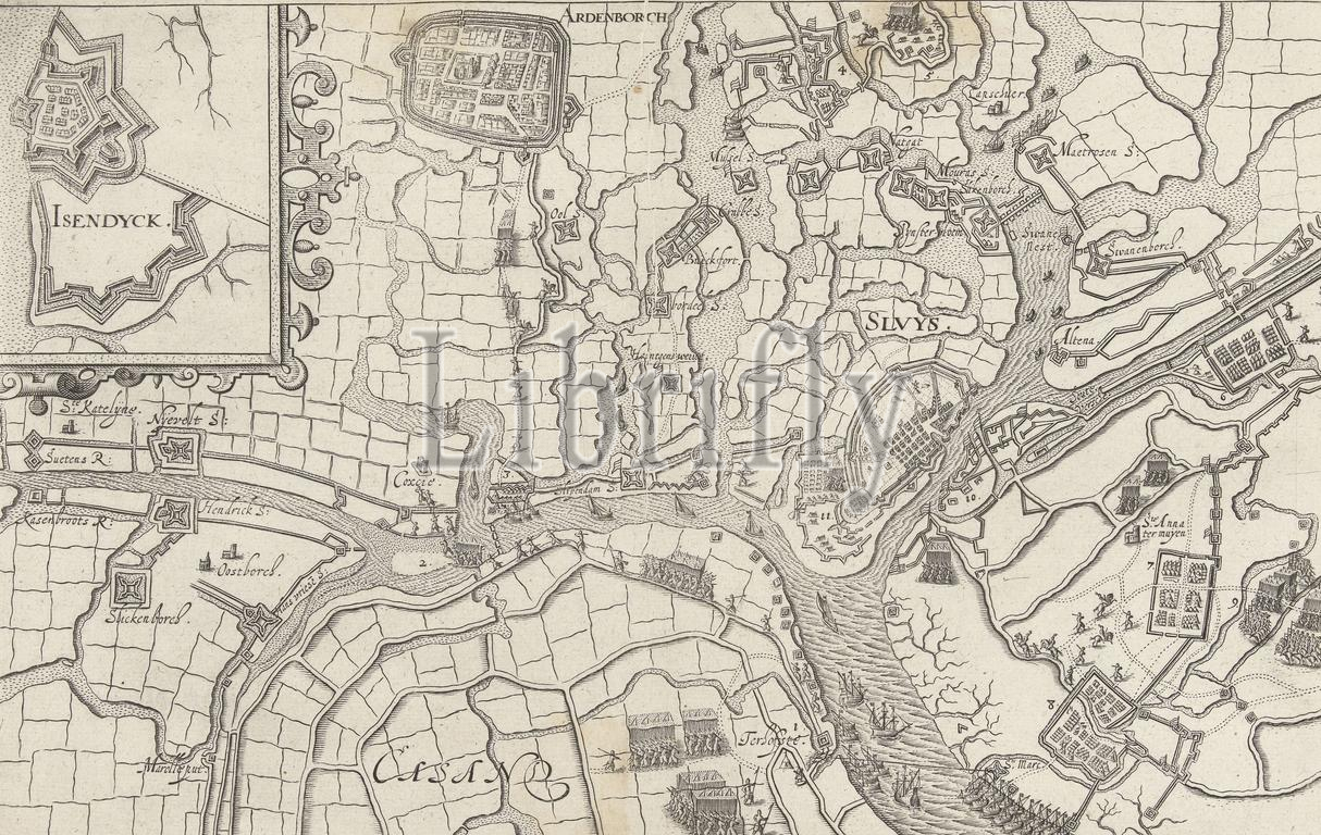
Map of Sluis besieged by Maurice, 1604, Sluis besieged by Maurice, May - August 19, 1604. Map of the city of Sluis and the surrounding country with Aardenburg at the top left. Top left an inset with a fortress map of IJzendijke. Without the legend., print, print maker: Bartholomeus Willemsz. Dolendo, (attributed to), Leiden, 1604 - 1610 and/or 1619, paper, engraving, height, 208 mm × width, 324 mm
Keywords:
Map, Sluis besieged, Maurice, 1604, - August 19, city, Sluis, surrounding country, Aardenburg, top left, Top left, inset, fortress map, IJzendijke, legend, print, print maker, Bartholomeus Willemsz, Dolendo, attributed, Leiden, 1604 - 1610, 1619, paper, engraving, height, 208 mm × width, 324 mm
Image ID:
The watermark in the image will not appear on the final download.