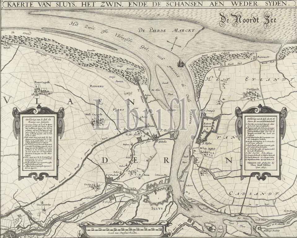
Map of Sluis, the Zwin and the fortifications on both sides, 1627, Map of Sluys, the Zwin, and the fortifications on both sides (title on object), Map of the city of Sluis with the Zwin, the surrounding land between Cadzand, Damme and Ramskapelle; with the fortifications on the Spanish and State sides, 1627. Left and right cartouches with the legends 1-6 and 1-13 in Dutch. Below, left of the middle, a scale stick: Scale van Duysent Roeden., print, print maker: Claes Jansz. Visscher (II), (workshop of), publisher: Claes Jansz. Visscher (II), (mentioned on object), printer: Claes Jansz. Visscher (II), (mentioned on object), Amsterdam, 1627, paper, etching, engraving, height, 365 mm × width, 454 mm
Keywords:
Map, Sluis, Zwin, fortifications, sides, 1627, Sluys, title, object, city, surrounding land, Cadzand, Damme, Ramskapelle, Spanish, State sides, Left, right cartouches, legends 1-6, 1-13, Dutch, left, middle, scale stick, Scale van Duysent Roeden, print, print maker, Claes Jansz, Visscher, Ii, workshop of, publisher, mentioned, printer, Amsterdam, paper, etching, engraving, height, 365 mm × width, 454 mm
Image ID:
The watermark in the image will not appear on the final download.