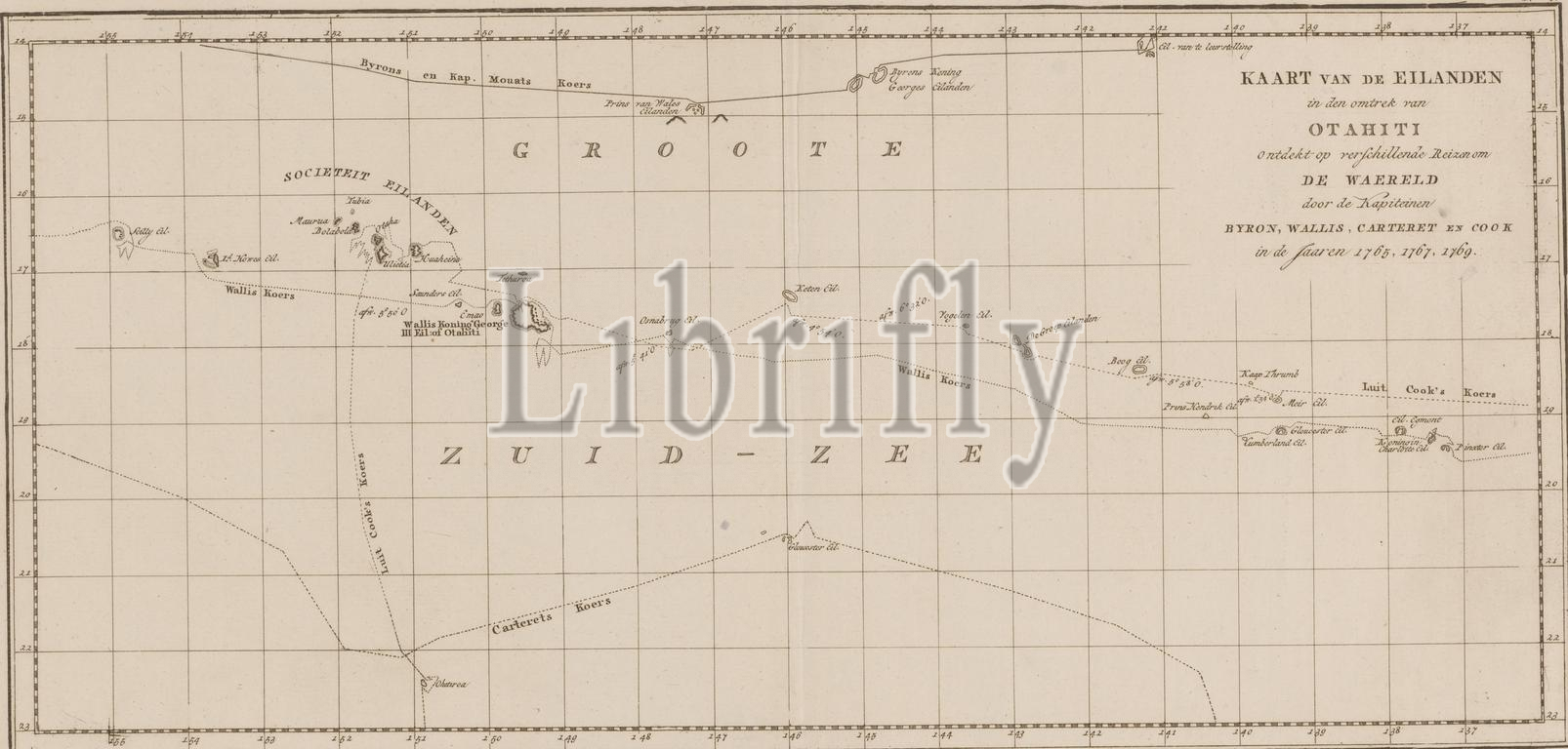
Map of the Society Islands, Map of the islands in the vicinity of Otahiti (...) (title on object), Map of the Society Islands, showing the voyages of the explorers Byron, Wallis Carteret and Cook. Numbered top right: V., print maker: anonymous, publisher: Abraham en Jan Honkoop, (possibly), publisher: Johannes Allart, (possibly), publisher: Leiden, publisher: Amsterdam, publisher: The Hague, 1795 - 1809, paper, engraving, height 252 mm × width 517 mm, print
Keywords:
Map, Society Islands, islands, vicinity, Otahiti, title, object, showing, voyages, explorers Byron, Wallis Carteret, Cook, Numbered top right, V, print maker, anonymous, publisher, Abraham, en, Jan Honkoop, Johannes Allart, Leiden, Amsterdam, Hague, 1795 - 1809, paper, engraving, height 252 mm ×, width, 517 mm, print
Image ID:
The watermark in the image will not appear on the final download.