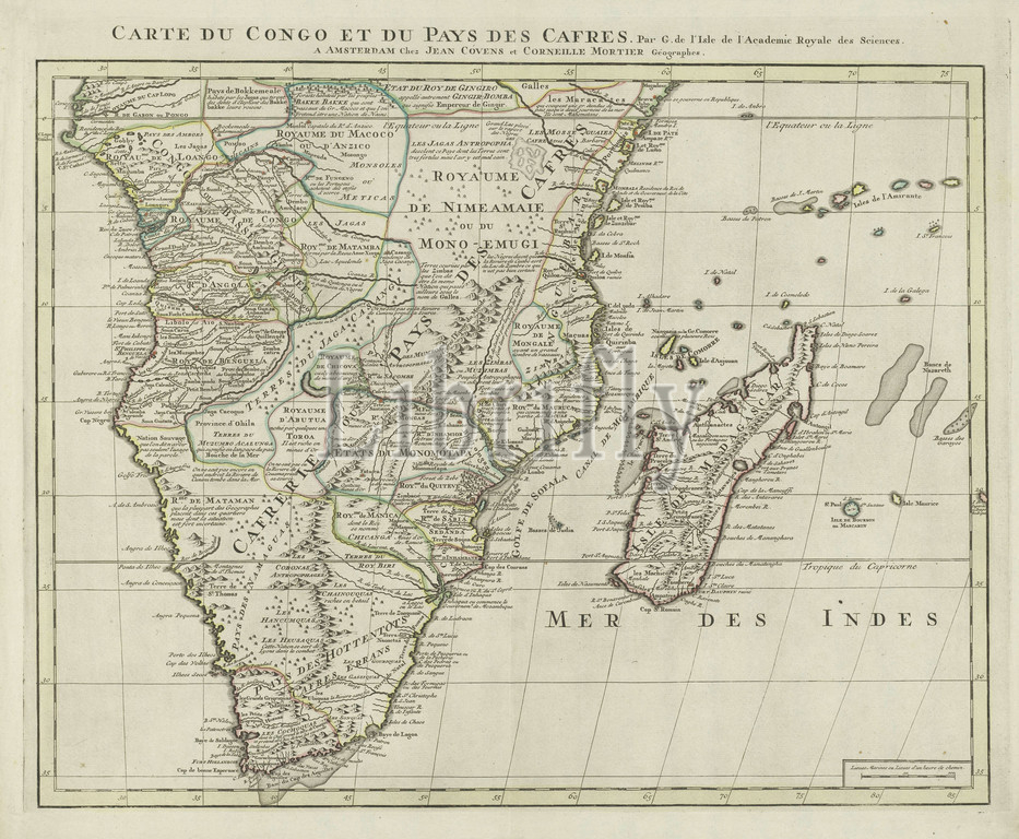
Map of South Africa and Madagascar, Carte du Congo and Pays des Cafres (title on object), borders colored. Bottom right scale in nautical miles (1: 9 million), maps of separate countries or regions, South Africa, Madagascar, Guillaume Delisle (mentioned on object), Amsterdam, c. 1745, paper, engraving, h 550 mm × w 655 mm
Keywords:
Map, South Africa, Madagascar, Carte du Congo, Pays des Cafres, title, object, borders colored, Bottom right scale, nautical miles, 1, 9 million, maps, separate countries, regions, Guillaume Delisle, mentioned, Amsterdam, c, 1745, paper, engraving
Image ID:
The watermark in the image will not appear on the final download.