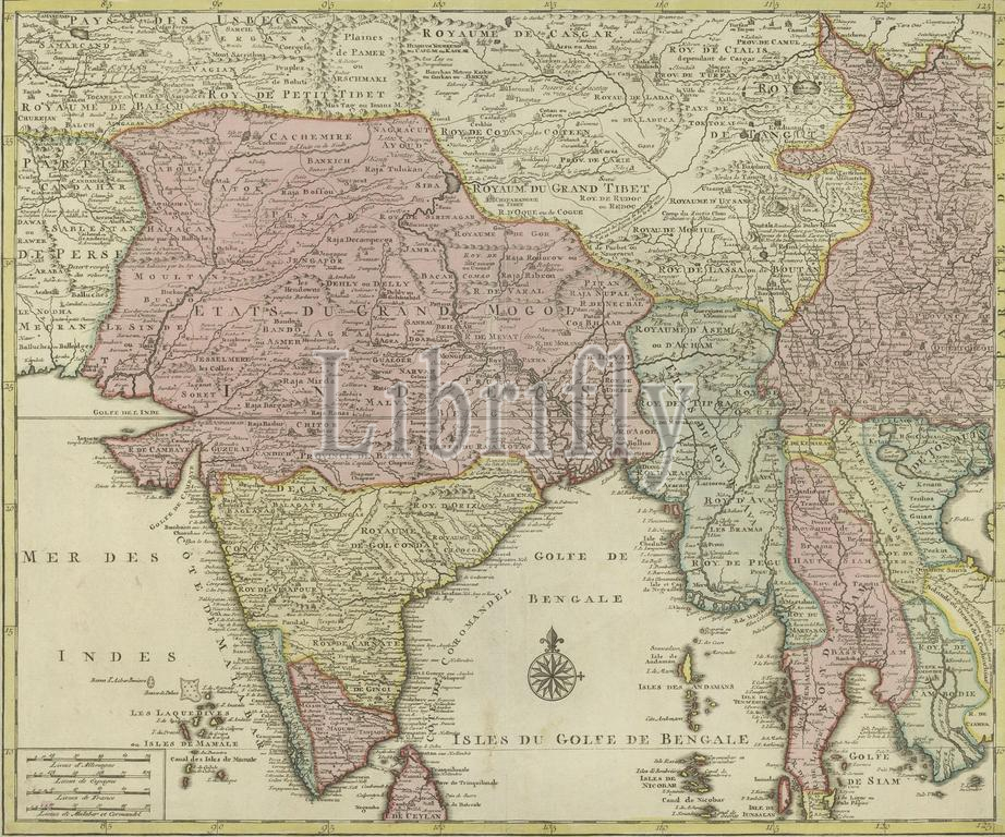
Map of South Asia, 1 Partie de la nouvelle grande carte des Indes Orientales : contenant les terres du Mogol, Surate, Malabar, Cormandel, Bengale, Aracan, Pegu, Siam, Camboje, Tonquin & partie de la Chine, dressée avec soin, sur plusieurs cartes manuscrites (title on object), Map of South Asia, different parts of the country differently colored, bottom center compass rose, bottom left scale in German, Spanish and French miles and miles of Malabar and Cormandel (1:8 miles)., print, publisher: Jan Barend Elwe, (mentioned on object), print maker: anonymous, Amsterdam, 1792, paper, engraving, height, 553 mm × width, 647 mm
Keywords:
Map, South Asia, 1 Partie de la nouvelle grande carte des Indes Orientales, contenant, les, terres du Mogol, Surate, Malabar, Cormandel, Bengale, Aracan, Pegu, Siam, Camboje, Tonquin & partie de la Chine, dressée avec soin, plusieurs, cartes, manuscrites, title, object, different parts, country differently colored, bottom center compass rose, bottom left scale, German, Spanish, French miles, miles, 1, 8 miles, print, publisher, Jan Barend Elwe, mentioned, print maker, anonymous, Amsterdam, 1792, paper, engraving, height, 553 mm × width, 647 mm
Image ID:
The watermark in the image will not appear on the final download.