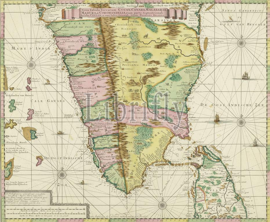
Map of South India, Nova tabula terrarum Cucan, Canara, Malabaria, Madura, & Coromandella, cum parte septentrionali insulae Ceylon, in mari Indico Orientali, edente Hadriano Relando (title on object), Map of South India with part of Ceylon, running from the 95th to the 105th latitude and from the 7th to the 15.20th longitude. Scale: 1:2000,000., print, publisher: Gerard van Keulen, (mentioned on object), Adriaan Reeland, (mentioned on object), print maker: anonymous, Amsterdam, c. 1720, paper, engraving, height, 504 mm × width, 600 mm
Keywords:
Map, South India, Nova tabula terrarum Cucan, Canara, Malabaria, Madura, & Coromandella, cum parte septentrionali insulae Ceylon, mari Indico Orientali, edente Hadriano Relando, title, object, part, Ceylon, running, 95th, 105th latitude, 7th, 15.20th longitude, Scale, 1, 2000, 000, print, publisher, Gerard van Keulen, mentioned, Adriaan Reeland, print maker, anonymous, Amsterdam, c, 1720, paper, engraving, height, 504 mm × width, 600 mm
Image ID:
The watermark in the image will not appear on the final download.