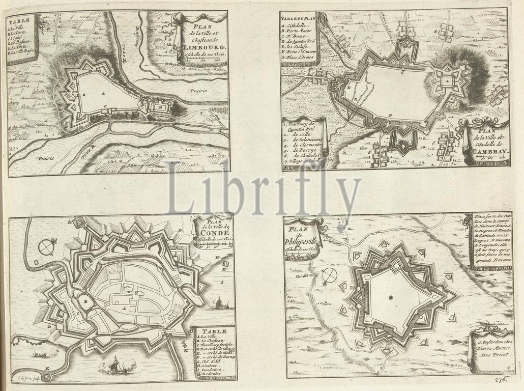
Maps of Limbourg, Cambrai, Condé and Philippeville, 1726, Limbourg, Cambray, Condé, Philippeville (title on object), Les Forces de l'Europe, Asie, Afrique et Amerique (...) Comme also les Cartes des Côtes de France et d'Espagne (series title on object), Sheet with four maps of the fortifications around the cities of Limbourg, Cambrai (Kamerijk), Condé and Philippeville. Plate no. 276 in part plates of renowned strong cities and fortresses in the context of the War of the Spanish Succession 1701-1713. Most of these plates have been copied from anonymous French plates of renowned strong cities and fortresses: in Les forces de l'Europe and in: Le theater de la guerre, dans les Pays-Bas, both originally published by Nicolas de Fer in Paris (1693-1697) in the context of the Nine Years' War. Titles and inscriptions in French., print, print maker: Laurens Scherm, (mentioned on object), publisher: Pieter van der Aa (I), publisher: Pieter Mortier (I), (mentioned on object), print maker: Northern Netherlands, publisher: Leiden, publisher: Amsterdam, 1726, paper, etching, engraving, height, 257 mm × width, 347 mm
Keywords:
Maps, Limbourg, Cambrai, Condé, Philippeville, 1726, Cambray, title, object, Les Forces de l'Europe, Asie, Afrique et Amerique, Comme also, les, Cartes des Côtes de France et d'Espagne, series title, Sheet, four maps, fortifications, cities, Kamerijk, Plate no, 276, part plates, renowned strong cities, fortresses, context, War, Spanish Succession 1701-1713, plates, copied, anonymous French plates, Les forces de l'Europe, Le theater de la guerre, dans, Pays-Bas, originally published, Nicolas de Fer, Paris, 1693-1697, Nine Years, Titles, inscriptions, French, print, print maker, Laurens Scherm, mentioned, publisher, Pieter van der Aa, I, Pieter Mortier, Northern Netherlands, Leiden, Amsterdam, paper, etching, engraving, height, 257 mm × width, 347 mm
Image ID:
The watermark in the image will not appear on the final download.