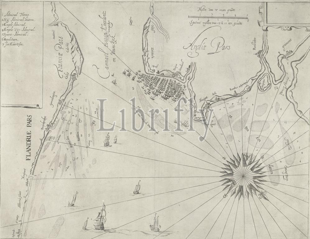
Nautical chart of the English coast at Duins, 1639, Nautical chart of the English coast at Duins, location of the naval battle at Duins between the Spanish Armada, commanded by Antonio de Oquendo, and the Dutch fleet under Maarten Harpertsz. Tromp, October 21, 1639. With the Spanish fleet surrounded by the Dutch fleet. On the left the Flemish and Northern French coast between Ostend and Calais, above and right the English coast between Hythe and Gravesend., print, print maker: anonymous, Northern Netherlands, 1639, paper, engraving, height, 398 mm × width, 520 mm
Keywords:
Nautical chart, English coast, Duins, 1639, location, naval battle, Spanish Armada, commanded, Antonio de Oquendo, Dutch fleet under Maarten Harpertsz, Tromp, October 21, Spanish fleet surrounded, Dutch fleet, left, Flemish, Northern French coast, Ostend, Calais, right, Hythe, Gravesend, print, print maker, anonymous, Northern Netherlands, paper, engraving, height, 398 mm × width, 520 mm
Image ID:
The watermark in the image will not appear on the final download.