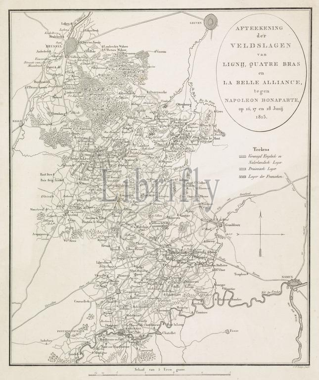
Netherlands, Lange, Johannes Fredericus, Map of the Battles of Ligny, Quatre Bras and La Belle Alliance, against Napoleon Bonaparte, on 16, 17 and 18 June 1815, Plan of the Battles of Quatre-Bras and Waterloo, 16-18 June, 1815, verso - stamped, Map of the region between Brussels and Charleroi where battles were fought between the armies of the Allies and the French army under Napoleon at Ligny, Quatre-Bras and Waterloo between 16-18 June 1815. The map shows the battle lines of the armies., print, picture, map, prints, pictures, Frederik Muller Historieplaten, height 393 mm, width 326 mm, 1770 - 1828, print maker, printmaker, 1815 - 1816, paper, papier, etching, etchings, engraving, engraving (printing process)
Keywords:
Netherlands, Lange, Johannes Fredericus, Map, Battles, Ligny, Quatre Bras, La Belle Alliance, Napoleon Bonaparte, 16, 17, 18 June 1815, Plan, Quatre-Bras, Waterloo, 16-18 June, 1815, verso - stamped, region, Brussels, Charleroi, battles, fought, armies, Allies, French army under Napoleon, 16-18 June 1815, map, battle lines, print, picture, prints, pictures, Frederik Muller Historieplaten, height 393 mm, width 326 mm, 1770 - 1828, print maker, printmaker, 1815 - 1816, paper, papier, etching, etchings, engraving, printing process
Image ID:
The watermark in the image will not appear on the final download.