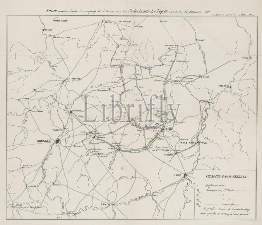
Netherlands, Map showing the movement of the columns of the Dutch Army from 2 to 12 August 1831, Map of Dutch troop movements during the Ten Days' Campaign, 1831, verso - stamped, Map of the southern Netherlands and the north of Belgium showing the routes taken by the four divisions of the Dutch troops during the Ten Days' Campaign, 2-12 August 1831. The routes of the four divisions are indicated in different colours. The legend is at the bottom right., print, engraving, map, historical print, prints, engravings, Frederik Muller Historieplaten, height 402 mm, width 435 mm, print maker, printmaker, 1855 - 1855, paper, papier, lithografie (technique), met de hand kleuren
Keywords:
Netherlands, Map showing, movement, columns, Dutch Army, 2, 12 August 1831, Map, Dutch troop movements, Ten Days, Campaign, 1831, verso - stamped, southern Netherlands, north, Belgium showing, routes, four divisions, Dutch troops, 2-12 August 1831, indicated, different colours, legend, bottom right, print, engraving, map, historical print, prints, engravings, Frederik Muller Historieplaten, height 402 mm, width 435 mm, print maker, printmaker, 1855 - 1855, paper, papier, lithografie, technique, met de hand kleuren
Image ID:
The watermark in the image will not appear on the final download.