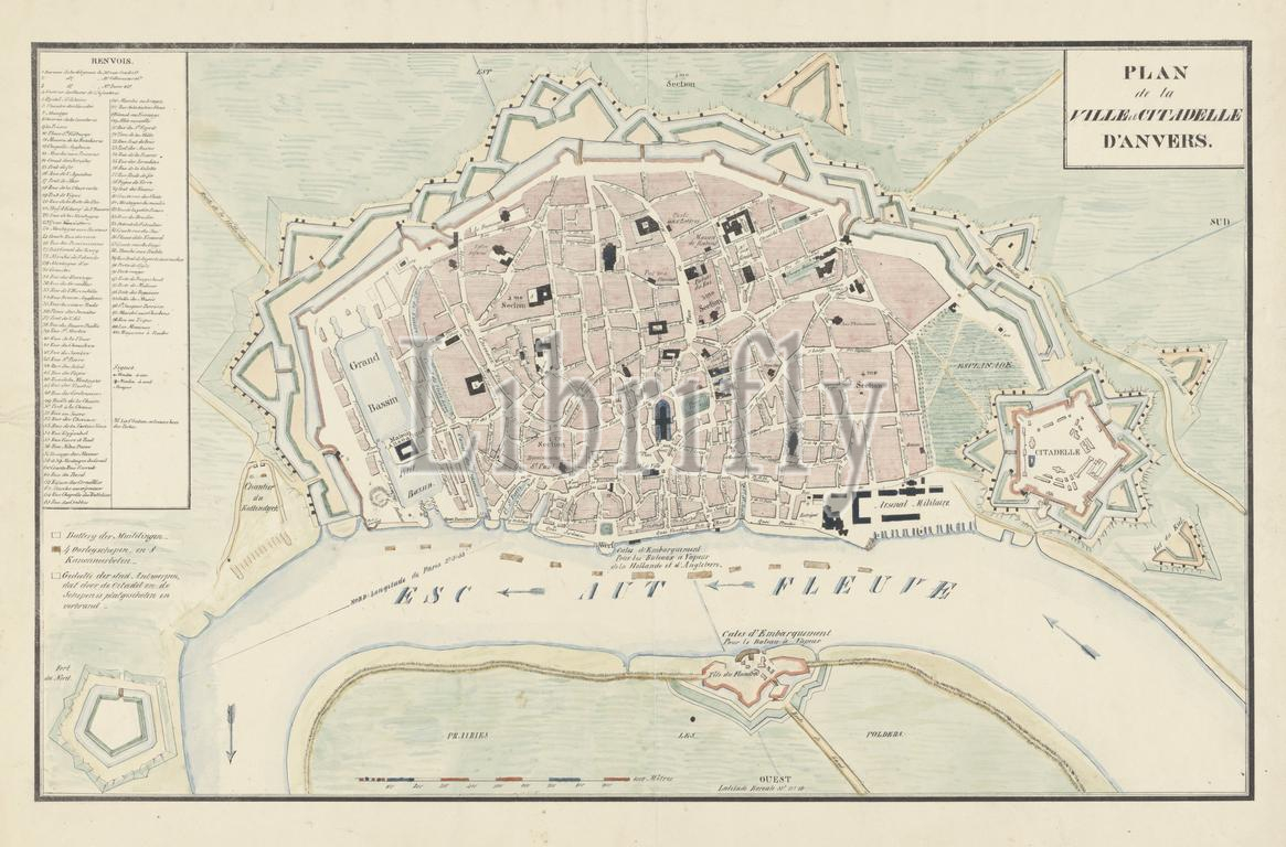
Netherlands, Plan de la Ville et Citadelle d'Anvers, Map of Antwerp and the Citadel, 1830, verso - stamped, Map of the city of Antwerp with the Citadel, after the bombardment by the Dutch on 27 October 1830. The positions of the Dutch frigates and gunboats are indicated on the Scheldt. On the left in a frame the legend 1-100., print, engraving, map, prints, engravings, Frederik Muller Historieplaten, height 434 mm, width 581 mm, print maker, printmaker, 1830 - 1831, paper, papier, lithografie (technique), handkleuring
Keywords:
Netherlands, Plan de la Ville et Citadelle d'Anvers, Map, Antwerp, Citadel, 1830, verso - stamped, city, bombardment, Dutch, 27 October 1830, positions, Dutch frigates, gunboats, indicated, Scheldt, left, frame, legend 1-100, print, engraving, map, prints, engravings, Frederik Muller Historieplaten, height 434 mm, width 581 mm, print maker, printmaker, 1830 - 1831, paper, papier, lithografie, technique, handkleuring
Image ID:
The watermark in the image will not appear on the final download.