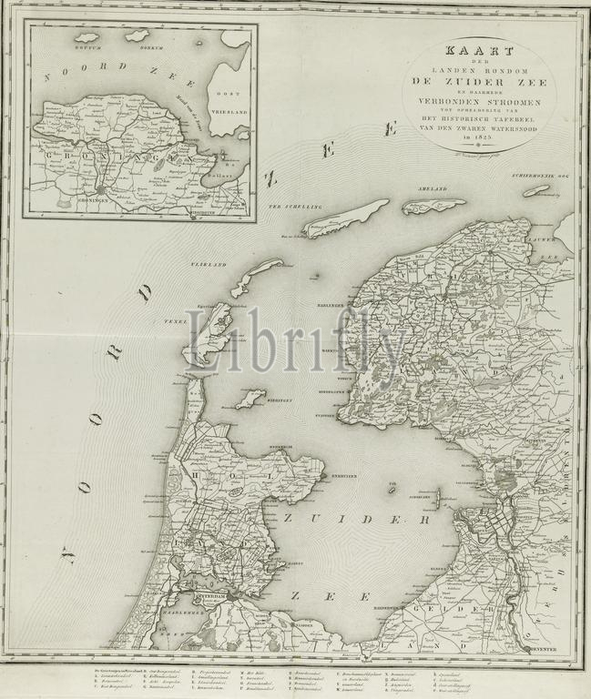
Netherlands, Veelwaard, Daniël (II), Map of the countries around the Zuider Zee and connected rivers to clarify the historical scene of the severe flood in 1825, Map of the areas around the Zuiderzee affected by the flood of 1825, verso - stamped, Map of the areas around the Zuiderzee affected by the flood of 3-5 February 1825. Top left an inset with a map of North Groningen., print, prent, map, prints, Frederik Muller Historieplaten, height 690 mm, width 620 mm, 1796-12-15 - 1868-11-09, print maker, printmaker, 1825 - 1826, paper, papier, etching, engraving, engraving (printing process)
Keywords:
Netherlands, Veelwaard, Daniël, Ii, Map, countries, Zuider Zee, connected rivers, clarify, historical scene, severe flood, 1825, areas, Zuiderzee affected, flood, verso - stamped, 3-5 February 1825, Top left, inset, map, North Groningen, print, prent, prints, Frederik Muller Historieplaten, height 690 mm, width 620 mm, 1796-12-15 - 1868-11-09, print maker, printmaker, 1825 - 1826, paper, papier, etching, engraving, printing process
Image ID:
The watermark in the image will not appear on the final download.