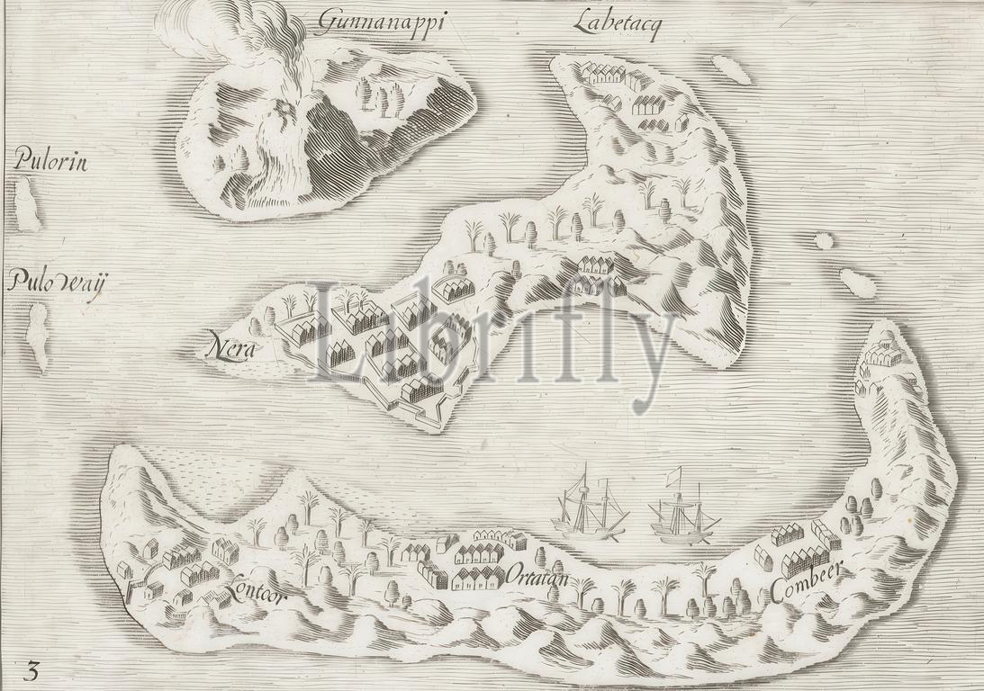
Northern Netherlands, Map of the Banda Islands, 1599, Map of the Banda Islands in the Moluccas, 1599. Main supplier of nutmeg and mace. Copy after the original illustration in the travel report of the Second Ship Voyage to the East Indies under Jacob Cornelisz. van Nes and Wijbrant van Warwyck in 1598-1600. Numbered: 3., print, picture, news print, map, prints, pictures, Frederik Muller Historieplaten, height 110 mm, width 156 mm, print maker, printmaker, 1600 - 1645, first quarter 17th century, second quarter 17th century, paper, engraving, engraving (printing process)
Keywords:
Northern Netherlands, Map, Banda Islands, 1599, Moluccas, Main supplier, nutmeg, mace, Copy, original illustration, travel report, Second Ship Voyage, East Indies under Jacob Cornelisz, van Nes, Wijbrant van Warwyck, 1598-1600, Numbered, 3, print, picture, news print, map, prints, pictures, Frederik Muller Historieplaten, height 110 mm, width 156 mm, print maker, printmaker, 1600 - 1645, first quarter 17th century, second quarter 17th century, paper, engraving, printing process
Image ID:
The watermark in the image will not appear on the final download.