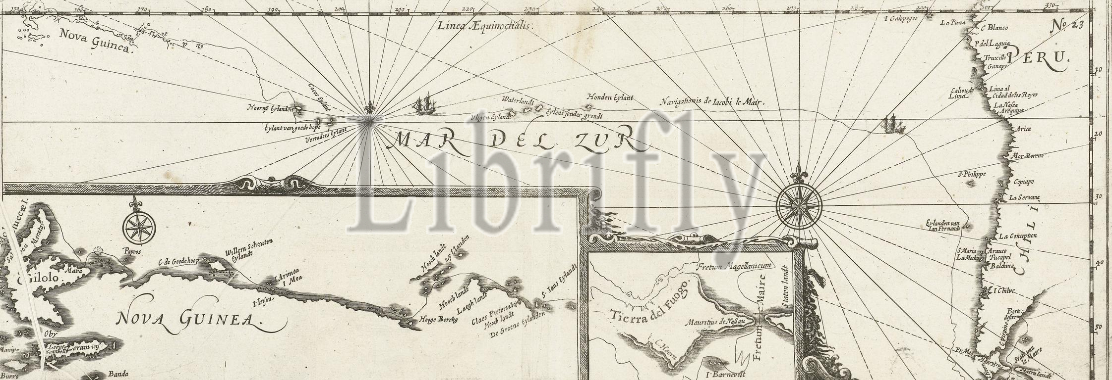
Northern Netherlands, Map, or Voyage, By Jacob le Maire, proves VE. in what ways the aforementioned Jacob le Maire, through a new Strait, passed the South Sea, as far as India, Map of the voyage of Jacob le Maire around Cape Horn, 1616, January 1616. With two insets with maps of the passage around Tierra del Fuego and of the north coast of New Guinea. Part of the illustrations of the Australian Navigations of Jacob le Maire included in the report of the voyage from Joris van Spilbergen around the world, 1614-1617, No. 23., print, picture, news print, map, prints, pictures, Frederik Muller Historieplaten, height 154 mm, width 440 mm, print maker, printmaker, 1617 - 1619, second quarter 17th century, paper, papier, etching, etchings, engraving, engraving (printing process), Work conception, after a print by, 1646 - 1646
Keywords:
Northern Netherlands, Map, Voyage, Jacob le Maire, proves VE, ways, aforementioned Jacob le Maire, new Strait, passed, South Sea, far, India, voyage, Cape Horn, 1616, January 1616, two insets, maps, passage, Tierra del Fuego, north coast, New Guinea, Part, illustrations, Australian Navigations, Jacob le Maire included, report, Joris van Spilbergen, world, 1614-1617, No, 23, print, picture, news print, map, prints, pictures, Frederik Muller Historieplaten, height 154 mm, width 440 mm, print maker, printmaker, 1617 - 1619, second quarter 17th century, paper, papier, etching, etchings, engraving, printing process, Work conception, 1646 - 1646
Image ID:
The watermark in the image will not appear on the final download.