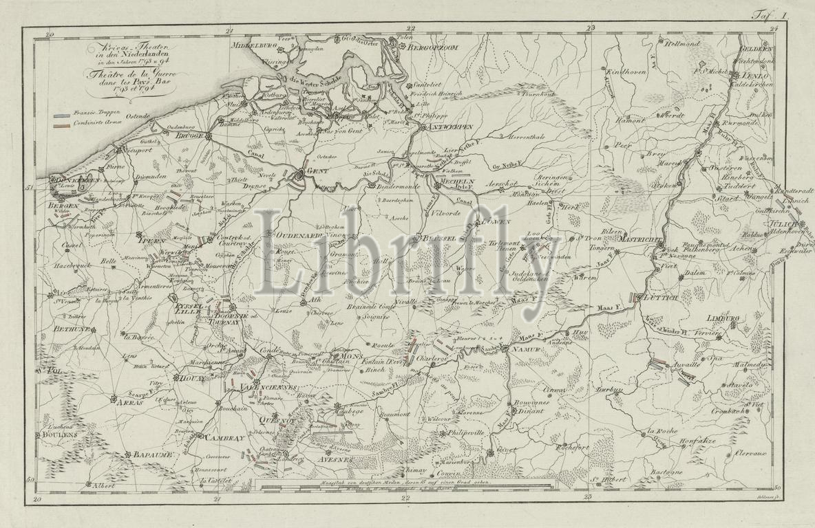
Northern Netherlands, Schleuen, Kriegs-Theater in den Niederlanden in den Jahren 1793 u 94, Théâtre de la Guerre dans les Pays-Bas 1793 et 1794, Map of the war zone in the Austrian Netherlands in 1793-1794, verso - stamped, Map of the war zone in the Austrian Netherlands and the positions of the French army and the Coalition army at the time of the First Coalition War, 1793-1794. Marked top right: Table I., print, picture, history print, map, prints, Frederik Muller History plates, height 272 mm, width 422 mm, German, print maker, printmaker, 1800 - 1804, paper, papier, etching, etchings, engraving, engraving (printing process), hand colouring
Keywords:
Northern Netherlands, Schleuen, Kriegs-Theater, den Niederlanden, den Jahren 1793 u 94, Théâtre de la Guerre dans, les, Pays-Bas 1793 et 1794, Map, war zone, Austrian Netherlands, 1793-1794, verso - stamped, positions, French army, Coalition army, time, First Coalition War, Marked top right, Table I, print, picture, history print, map, prints, Frederik Muller History plates, height 272 mm, width 422 mm, German, print maker, printmaker, 1800 - 1804, paper, papier, etching, etchings, engraving, printing process, hand colouring
Image ID:
The watermark in the image will not appear on the final download.