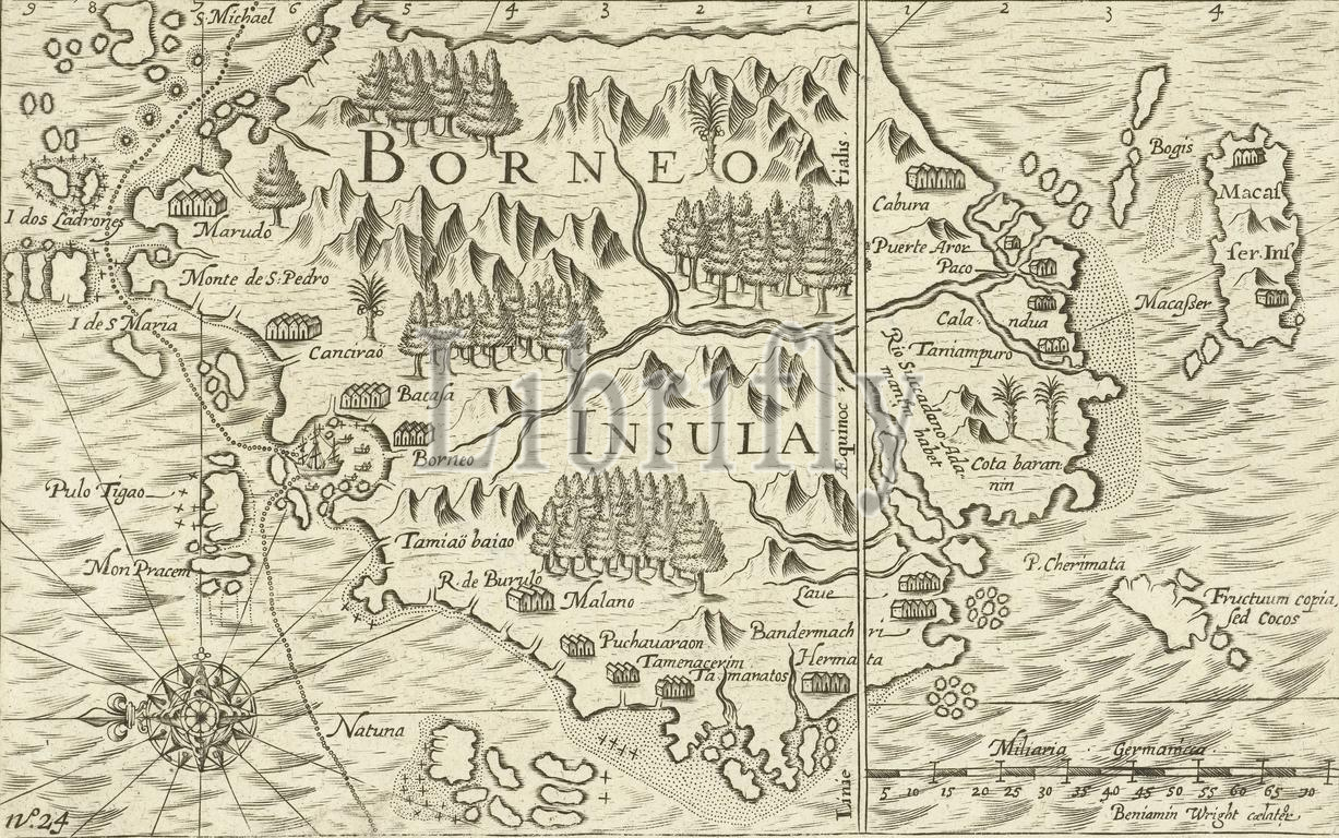
Northern Netherlands, Wright, Benjamin, Borneo Insula, Map of the island of Borneo, 1601, Map of the island of Borneo with the mapped out route of the ship Mauritius, January 1601. On the right the scales and the island of Makassar. Part of the illustrations in the report of the voyage around the world by Olivier van Noort in 1598-1601. No. 24., print, prent, nieuwsprent, map, prints, Frederik Muller Historical Plates, height 145 mm, width 225 mm, English, 1575, print maker, printmaker, 1601 - 1602, first quarter 17th century, second quarter 17th century, paper, engraving, engraving (printing process)
Keywords:
Northern Netherlands, Wright, Benjamin, Borneo Insula, Map, island, Borneo, 1601, mapped, route, ship Mauritius, January 1601, right, scales, Makassar, Part, illustrations, report, voyage, world, Olivier van Noort, 1598-1601, No, 24, print, prent, nieuwsprent, map, prints, Frederik Muller Historical Plates, height 145 mm, width 225 mm, English, 1575, print maker, printmaker, 1601 - 1602, first quarter 17th century, second quarter 17th century, paper, engraving, printing process
Image ID:
The watermark in the image will not appear on the final download.