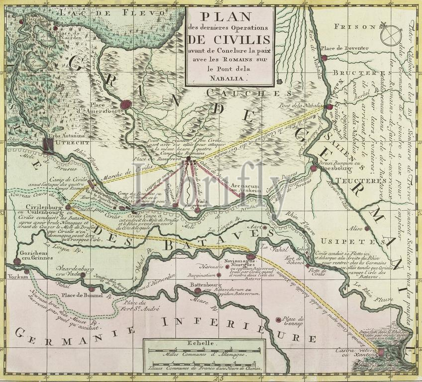
Plan des dernieres Operations de Civilis avant de Conclure la paix avec les Romains sur le Pont dela Nabalia, Map of the last military maneuvers of Civilis, 69-70, Colored map of the last military maneuvers of Civilis before concluding the peace with the Romans. This map belongs to the series of prints about the Batavian Revolt, copied from the series Batavorum cum Romanis bellum by Antonio Tempesta (Otto Vaenius, Antwerp 1612). Illustration for: Marquis de St. Simon, Histoire de la guerre des Bataves et des Romains, d'après César; Corneille Tacite, Aux dépens de Marc-Michel Rey, Amsterdam 1770, page 65., print, picture, historical print, map, prints, Frederik Muller Historieplaten, height 320 mm, width 355 mm, print maker, printmaker, 1768 - 1770, third quarter 18th century, paper, hand coloring, etching, engraving, engraving (printing process)
Keywords:
Plan, des, dernieres Operations de Civilis avant de Conclure la paix avec, les, Romains, le Pont dela Nabalia, Map, last military maneuvers, Civilis, 69-70, Colored map, concluding, peace, Romans, map belongs, series, prints, Batavian Revolt, copied, series Batavorum, cum, Romanis bellum, Antonio Tempesta, Otto Vaenius, Antwerp 1612, Illustration, Marquis de St, Simon, Histoire de la guerre, Bataves et, d'après César, Corneille Tacite, Aux, dépens, de Marc-Michel Rey, Amsterdam 1770, page 65, print, picture, historical print, map, Frederik Muller Historieplaten, height 320 mm, width 355 mm, print maker, printmaker, 1768 - 1770, third quarter 18th century, paper, hand coloring, etching, engraving, printing process
Image ID:
The watermark in the image will not appear on the final download.