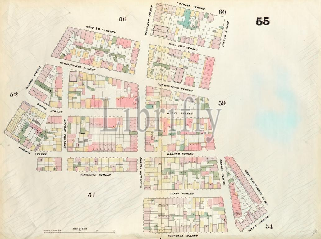
Plate 55: Map bounded by Charles Street, 4th Street, West Washington Place, Sixth Avenue, Cornelia Street, Bleeker Street, Commerce Street, Hudson Street, West 10th Street, Bleeker Street. 1857, 1862, Perris and Browne, New York, USA. Reimagined by Gibon. Classic art with a modern twist.
Keywords:
Plate 55, Charles Street, 4th Street, West Washington Place, Sixth Avenue, Cornelia Street, Bleeker Street, Commerce Street, Hudson Street, West 10th Street, Bleeker Street 1857, 1862, Perris and Browne, New York, USA, cartographic, cartography, geography, historic map, America, map, vintage map, old map, reimagined, Gibon Art
Image ID:
The watermark in the image will not appear on the final download.