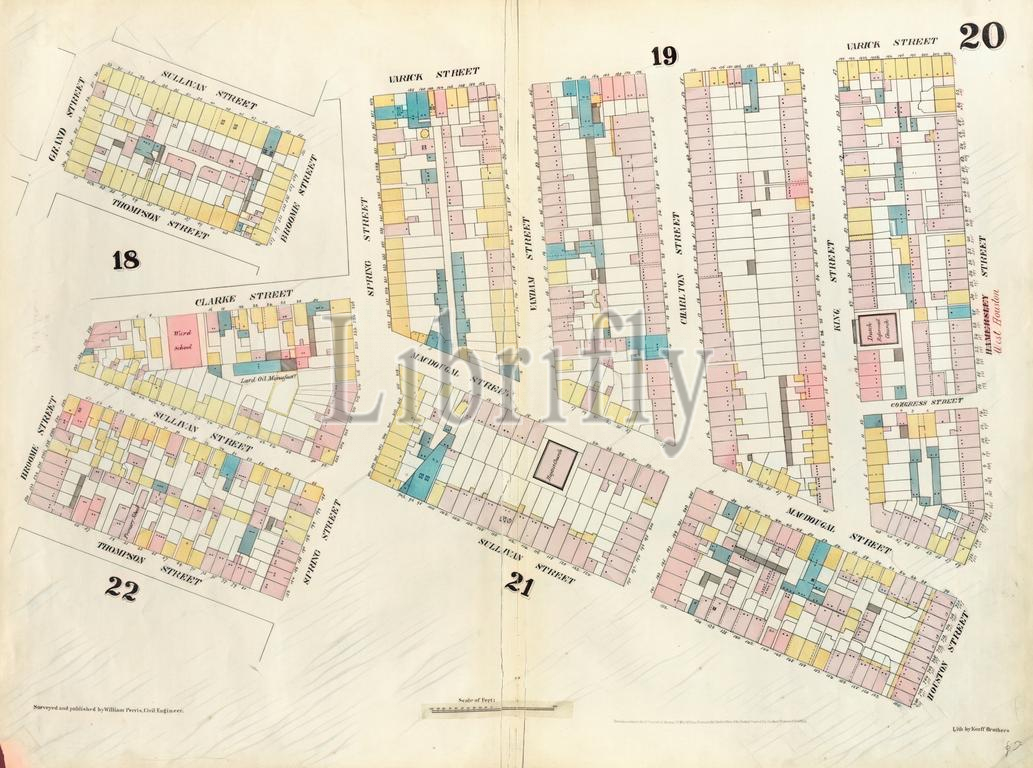
Plate 20: Map bounded by Hamersley Street, Houston Street, Sullivan Street, Spring street, Thompson Street, Grand Street, Sullivan Street, Broome Street, Clarke Street, Spring Street, Varick Street. 1857, 1862, Perris and Browne, New York, USA. Reimagined by Gibon. Classic art with a modern twist.
Keywords:
Plate 20, Hamersley Street, Houston Street, Sullivan Street, Spring street, Thompson Street, Grand Street, Sullivan Street, Broome Street, Clarke Street, Spring Street, Varick Street 1857, 1862, Perris and Browne, New York, USA, cartographic, cartography, geography, historic map, America, map, vintage map, old map, reimagined, Gibon Art
Image ID:
The watermark in the image will not appear on the final download.