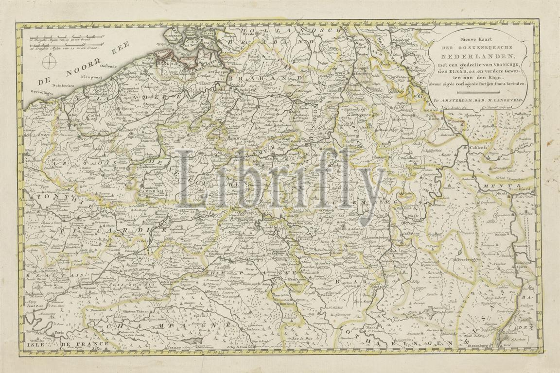
Roeder, JC, Noordelijke Nederlanden, Baarsel, Cornelis van, Nieuwe kaart der Oostenrijksche Nederlanden, met een deel van France al waar de oorlogende Partijen, 1792, Northern Netherlands, verso - gestempeld, Map of the Austrian Netherlands at the time of the First Coalition War with the French in 1792. Top right the title cartouche. Top left two scale bars: 10 Duitsche Milelen van 15 in a Degree, 16 French Miles of 24 in a Degree. The map is provided with a degree division along the edges., print, image, map, prints, images, Frederik Muller Historieplaten, height 343 mm, width 503 mm, Dutch, 1761 - 1826-08-17, print maker, printmaker, 1792 - 1792, paper, etching, etchings, engraving, engraving (printing process), hand coloring, cartographer
Keywords:
Roeder, Jc, Noordelijke Nederlanden, Baarsel, Cornelis van, Nieuwe kaart der Oostenrijksche Nederlanden, met een deel, van, France al waar de oorlogende Partijen, 1792, Northern Netherlands, verso - gestempeld, Map, Austrian Netherlands, time, First Coalition War, French, Top right, title cartouche, Top, left, two scale bars, 10 Duitsche Milelen, 15, Degree, 16 French Miles, 24, map, provided, degree division, edges, print, image, prints, images, Frederik Muller Historieplaten, height 343 mm, width 503 mm, Dutch, 1761 - 1826-08-17, print maker, printmaker, 1792 - 1792, paper, etching, etchings, engraving, printing process, hand coloring, cartographer
Image ID:
The watermark in the image will not appear on the final download.