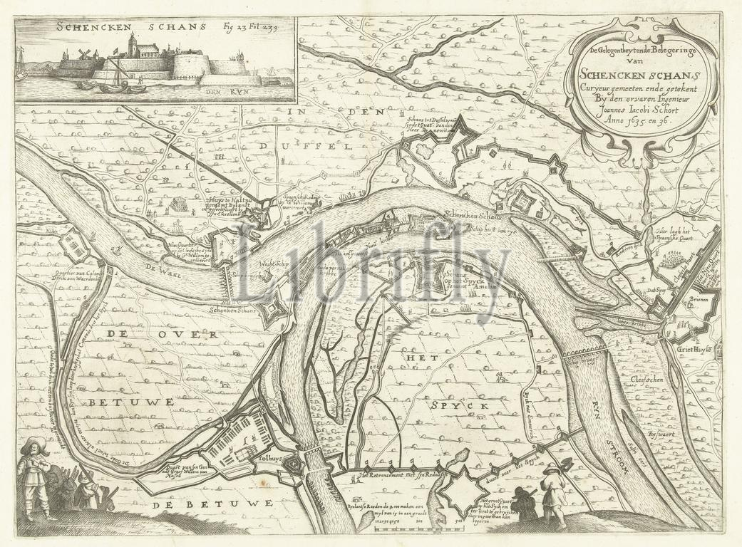
Schort, Johannes Jacobus, Visscher, Claes Jansz. (II), Northern Netherlands, The Situation and Siege of Schencken Schans Curyeus measured and drawn by the experienced engineer Joannes Jacobi Schort Anno 1635. and 36., Map with the siege and conquest of Schenckenschans by Frederik Hendrik, 1635-1636, Map of the siege and capture of Schenckenschans by the Dutch army under Frederik Hendrik, 1635-1636. Top left a view of the fort from the water. At the bottom in the foreground various figures. Marked top left: Fig. 23 Fol. 239., print, picture, history print, prints, pictures, Frederik Muller History plates, height 260 mm, width 353 mm, print maker, printmaker, 1651 - 1652, third quarter 17th century, paper, engraving, engraving (printing process), Work conception, after print by, 1586 - 1652-06-19, Dutch, cartographer
Keywords:
Schort, Johannes Jacobus, Visscher, Claes Jansz, Ii, Northern Netherlands, Situation, Siege, Schencken Schans Curyeus measured, drawn, experienced engineer Joannes Jacobi Schort Anno 1635, 36, Map, siege, conquest, Schenckenschans, Frederik Hendrik, 1635-1636, capture, Dutch army under Frederik Hendrik, Top left, view, fort, water, bottom, foreground various figures, Marked top left, Fig, 23 Fol, 239, print, picture, history print, prints, pictures, Frederik Muller History plates, height 260 mm, width 353 mm, print maker, printmaker, 1651 - 1652, third quarter 17th century, paper, engraving, printing process, Work conception, 1586 - 1652-06-19, Dutch, cartographer
Image ID:
The watermark in the image will not appear on the final download.