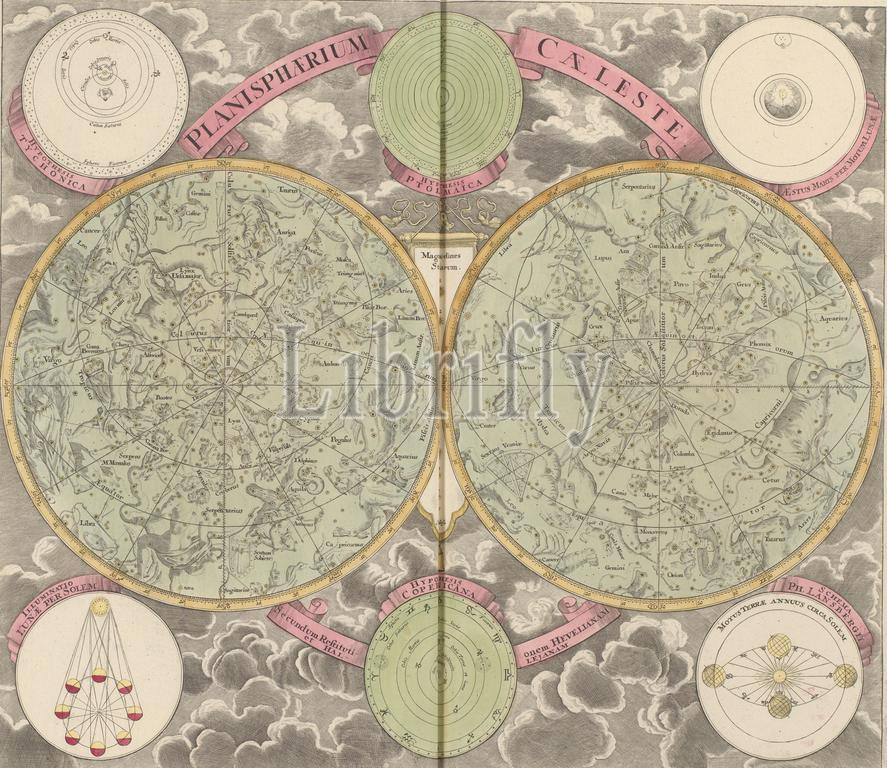
Sky map with the northern and southern constellations, Planisphaerium caeleste secundum restitutionem Hevellanam (title on object), Sky map with the northern and southern constellations. Above, from left to right, views of Tycho Brahe's system, Ptolemy's system and the moon's effect on the tides. Below, from left to right, views of the phases of the moon, the system of Nicolaas Copernicus and the position of the earth as it revolves around the sun, according to Philippus Lansbergen., print maker: anonymous, after design by: G.C. Einmarti, publisher: Johann Baptista Homann, Neurenberg, 1707, paper, engraving, etching, height 491 mm × width 567 mm, print
Keywords:
Sky map, northern, southern constellations, Planisphaerium caeleste secundum restitutionem Hevellanam, title, object, left, right, views, Tycho Brahe's system, Ptolemy's system, moon's effect, tides, phases, moon, system, Nicolaas Copernicus, position, earth, revolves, sun, according, Philippus Lansbergen, print maker, anonymous, design, G.C, Einmarti, publisher, Johann Baptista Homann, Neurenberg, 1707, paper, engraving, etching, height 491 mm ×, width, 567 mm, print
Image ID:
The watermark in the image will not appear on the final download.