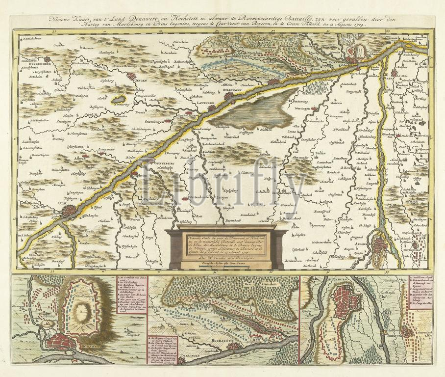
Staten van Holland en West-Friesland, Visscher, Nicolaes (II), Noordelijke Nederlanden, Nieuwe Kaart van t'Land Donawert, en Hochstett &c. where the Glorious Battle, fell by the Duke of Marlebourg and Prince Eugene, against the Prince of Bavaria, and the Count Tallard, on 13 August 1704, Map of Donawert, the region where the battle of Höchstädt was fought, 1704, Northern Netherlands, the region around the Danube between Donauwörth and Ulm, location of the battle of Höchstädt (battle of Blenheim) with a victory of the Allies over the French and the Bavarians, 13 August 1704. At the bottom three details of Schellenberg, Hochstett and Augsburg., print, engraving, map, prints, engravings, Frederik Muller Historieplaten, height 396 mm, width 480 mm, print maker, printmaker, 1704 - 1704, paper, etching, etchings, hand coloring, Publication (Event), Publication, 1649 - 1702, publisher, granter of privilege
Keywords:
Staten van Holland, en, West-Friesland, Visscher, Nicolaes, Ii, Noordelijke Nederlanden, Nieuwe Kaart van t'Land Donawert, en Hochstett &c, Glorious Battle, fell, Duke, Marlebourg, Prince Eugene, Prince, Bavaria, Count Tallard, 13 August 1704, Map, Donawert, region, battle, Höchstädt, was, fought, 1704, Northern Netherlands, Danube, Donauwörth, Ulm, location, Blenheim, victory, Allies, French, Bavarians, bottom three details, Schellenberg, Hochstett, Augsburg, print, engraving, map, prints, engravings, Frederik Muller Historieplaten, height 396 mm, width 480 mm, print maker, printmaker, 1704 - 1704, paper, etching, etchings, hand coloring, Publication, Event, 1649 - 1702, publisher, granter, privilege
Image ID:
The watermark in the image will not appear on the final download.