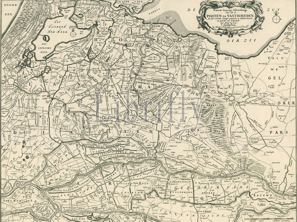
States of Holland and West Friesland, Amsterdam, Valck, Gerard, Schenk, Pieter (I), Loon, Johannes van, Accurate image of all the posts and fortifications made by this war, in Holland, Utrecht and part of Gelderland, Map of the provinces of Holland, Utrecht and Gelderland with the fortresses and forts built during the war in 1672, Utrecht and Gelderland with the fortresses and forts built during the war in 1672. Top right the cartouche with the title. Bottom right a scale bar: Duytsche miles, Milliaria Germanica., print, prent, map, historical print, prints, Frederik Muller Historieplaten, height 468 mm, width 573 mm, print maker, printmaker, 1672 - 1672, third quarter 17th century, first quarter 18th century, paper, papier, etching, engraving, engraving (printing process), Dutch, 1611 - 1686, cartographer, Publication (Event), Publication, Northern Netherlands, 1660-12-26 - 1711, publisher, uitgever, 1652 - 1726-10-21, uitgever van privilege
Keywords:
States, Holland, West Friesland, Amsterdam, Valck, Gerard, Schenk, Pieter, I, Loon, Johannes van, Accurate image, posts, fortifications, war, Utrecht, part, Gelderland, Map, provinces, fortresses, forts built, 1672, Top right, cartouche, title, Bottom right, scale bar, Duytsche miles, Milliaria Germanica, print, prent, map, historical print, prints, Frederik Muller Historieplaten, height 468 mm, width 573 mm, print maker, printmaker, 1672 - 1672, third quarter 17th century, first quarter 18th century, paper, papier, etching, engraving, printing process, Dutch, 1611 - 1686, cartographer, Publication, Event, Northern Netherlands, 1660-12-26 - 1711, publisher, uitgever, 1652 - 1726-10-21, uitgever van privilege
Image ID:
The watermark in the image will not appear on the final download.