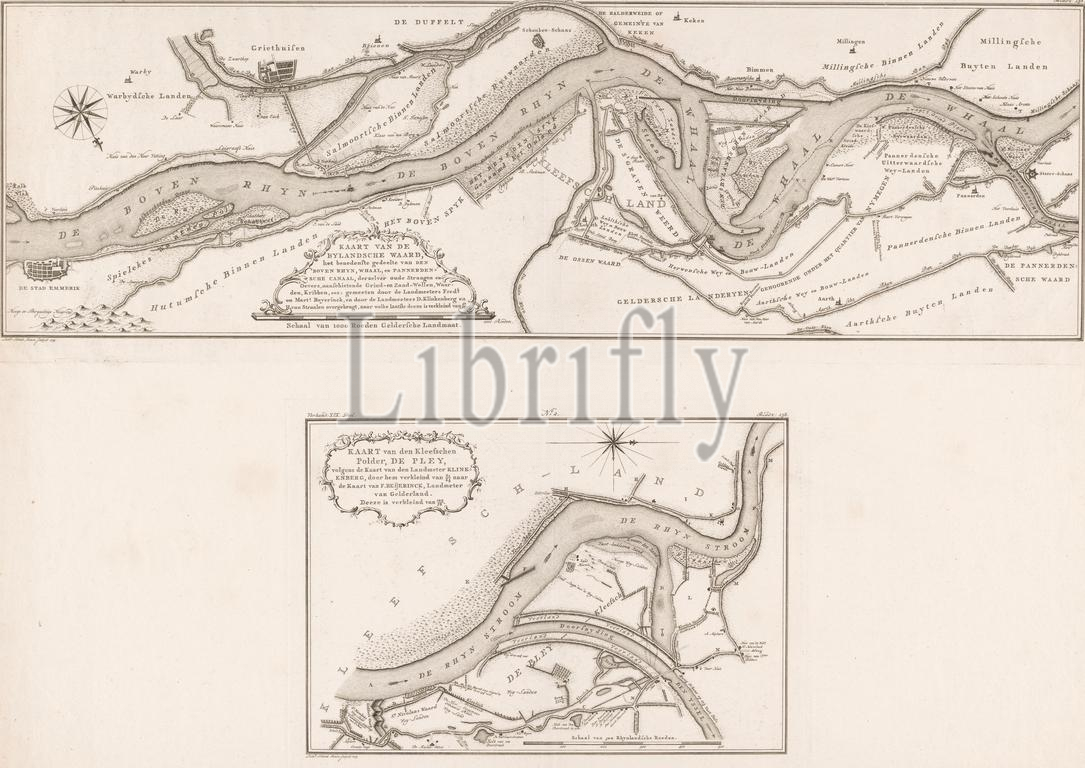
Two maps of the course of the Rhine in the Netherlands, Map of the Bylandsche Waard, the lower part of (...) / Map of the Kleefschen Polder, the Pley, according to the map (...) (title on object), Above a map of the course of the Rhine between Emmerik and Pannerden. Below a map of the course of the Rhine at the Pley polder., print, print maker: Leonardus Schenk Jansz, (mentioned on object), Frederik Beijerinck (I), (mentioned on object), Martinus Beijerinck, (mentioned on object), Amsterdam, 1779, paper, etching, engraving, height, 218 mm × width, 640 mm × height, 214 mm × width, 297 mm
Keywords:
Two maps, course, Rhine, Netherlands, Map, Bylandsche Waard, lower part, Kleefschen Polder, Pley, according, map, title, object, Emmerik, Pannerden, Pley polder, print, print maker, Leonardus Schenk Jansz, mentioned, Frederik Beijerinck, I, Martinus Beijerinck, Amsterdam, 1779, paper, etching, engraving, height, 218 mm × width, 640 mm × height, 214 mm × width, 297 mm
Image ID:
The watermark in the image will not appear on the final download.